Review Results#
As the model run finishes, the results will be loaded onto the map automatically.
Click the Results tab ![]() . You should see three result datasets:
. You should see three result datasets:
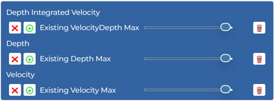
![]() will toggle the layer visibility.
will toggle the layer visibility.
![]() will download the layer.
will download the layer.
![]() will adjust the layer transparency.
will adjust the layer transparency.
![]() will remove the layer from the map (a copy will still be stored on the server).
will remove the layer from the map (a copy will still be stored on the server).
Three result maps are produced.
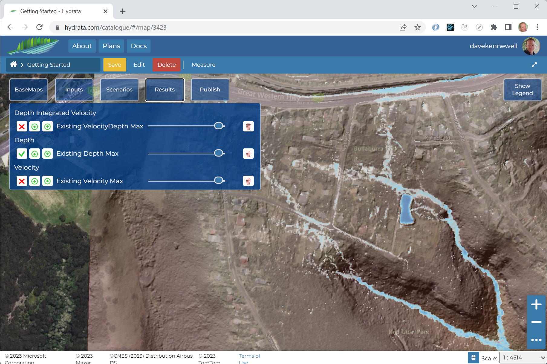
Depth Maximum#
The maximum depth map clearly highlights the potential for ponding on the highway to the north, and the detention basin accepts a significant volume of water within its embankment.
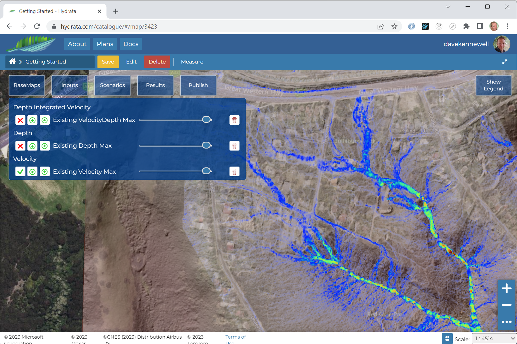
Velocity Maximum#
The velocity mapping highlights where and how water moves through the catchment. Two small waterfalls can be identified in the south-east of the northern tributary.
VelocityDepth Maximum#
The integral of velocity and depth serves as a proxy for “flow”. It shows the areas where scour is more likely.
